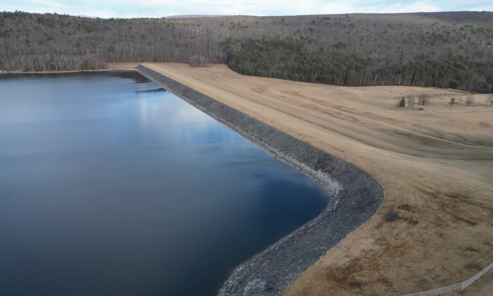
I recently conducted an aerial survey of two of New York’s key water supply reservoirs—Rondout and Neversink—using a DJI Mini drone. Similar to my other flights I took photos to create an Orthophoto of the dam and surrounding infrastructure.
Rondout Reservoir: Orthomosaic and 3D Model
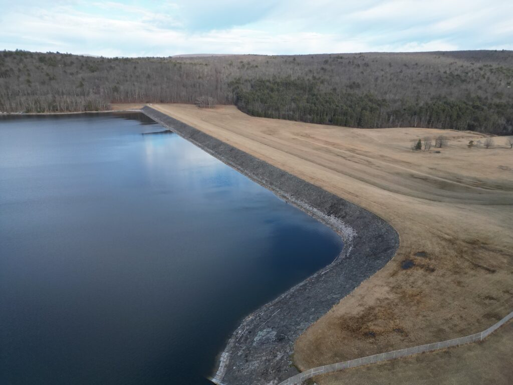
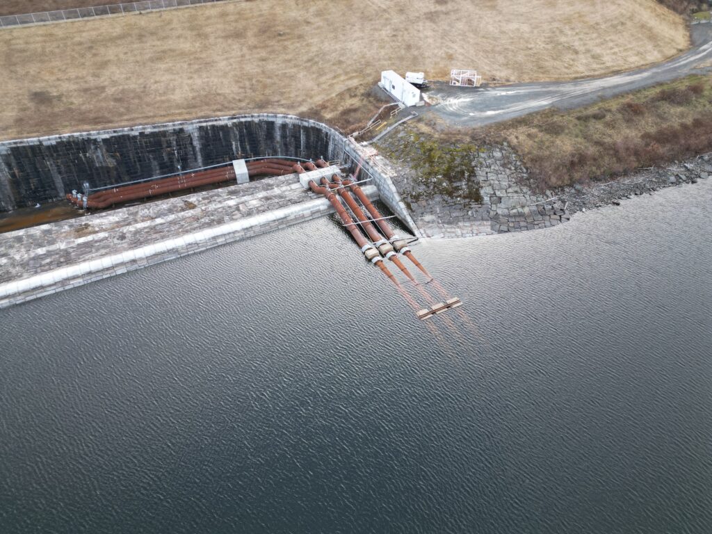
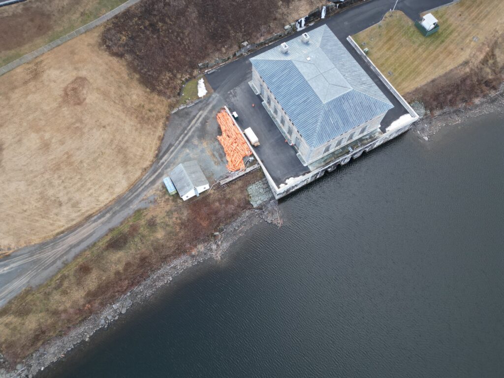
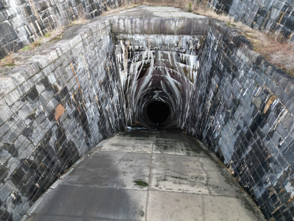
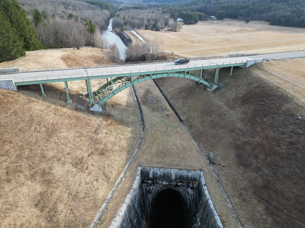
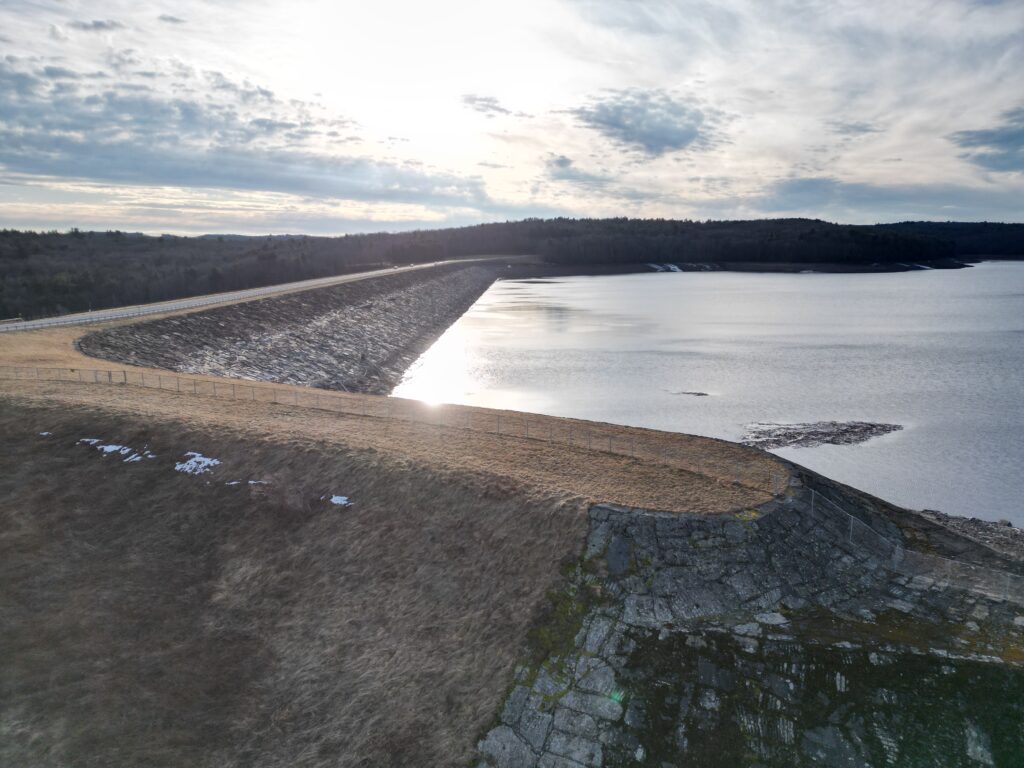
Before we get to the models and orthomosaic, here are some overview photos of the Rondout reservoir and Merriman Dam.
Rondout Reservoir: Orthomosaic and 3D Model
My primary focus at Rondout was creating an orthomosaic of the dam. I flew a series of grid patterns with plenty of overlapping photos, then used WebODM to stitch them into a single map-accurate image. WebODM is an open-source tool for processing drone data, and it handled the DJI Mini’s images fairly smoothly.
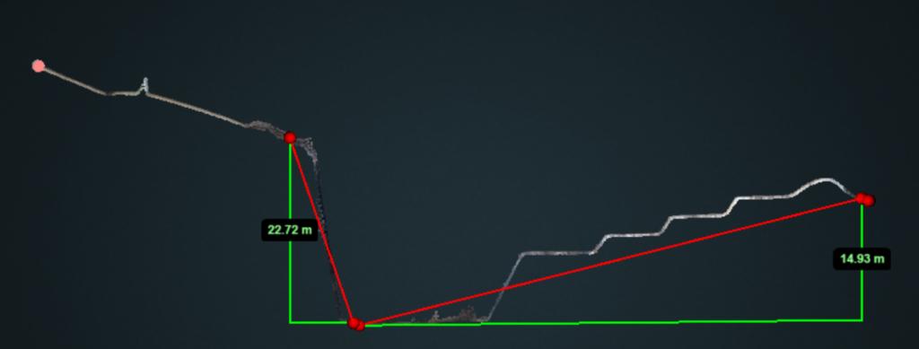
From these same images, I generated a 3D model of the dam in WebODM. The model provides a different way to inspect the structure, though it struggled with the water. The model imbedded below was significantly reduced in size to properly fit Sketchfab’s requirements.
Both the orthomosaic and 3D model may take time to load as they are very large files.
Neversink Reservoir: Photographic Overview
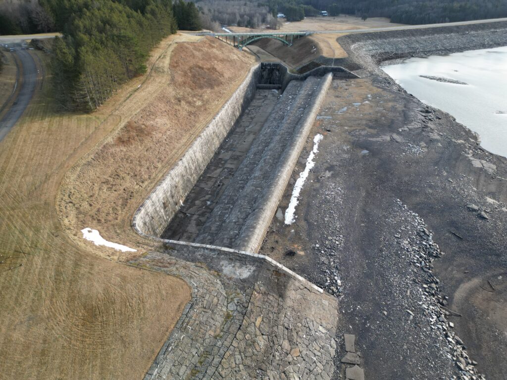
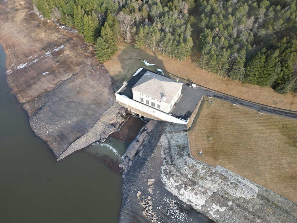
After wrapping up at Rondout, I moved on to the Neversink Reservoir. There, I focused more on general photos rather than detailed mapping. While I didn’t create an orthomosaic or 3D model at this site, the aerial shots still highlight the reservoir’s scale and its placement within the landscape.
Working with a DJI Mini and WebODM
Using a DJI Mini has both benefits and drawbacks. It’s lightweight, easy to carry, and beginner-friendly. However, the smaller sensor and more limited camera settings mean there’s a trade-off in image quality compared to larger drones. Despite this, WebODM managed to process the images without major issues, producing orthomosaics and models that meet basic needs.
- Portability: The Mini’s size made it easier for me to set up quickly, especially at multiple locations.
- Data Processing: WebODM proved a viable option for stitching images and generating 3D models, though high-precision surveys might require more powerful hardware and additional ground control points.
Final Thoughts
Overall, this survey gave me a better look at the dams in these two reservoirs. The results aren’t on par with professional-grade surveys, but they do offer some useful visual references and baseline data.
If you’re interested in the workflow—like how I planned the flights, captured overlapping images, or processed everything with WebODM—feel free to reach out. I’m still learning a lot from this process, and I see potential for refining these techniques in the future.
